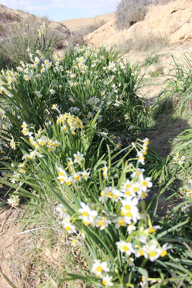
This is a two hours hike out, the time to go is December/January and the objective is the annual appearance of narcissi.
You walk and walk through low, barren hills past the occasional greyish desert shrub, deeper and deeper into the rocky wilderness and then suddenly and for no apparent reason, dozens of clusters of white daffodils. Who put them there I would like to know. If you go on a weekend you will encounter dozens of Israelis of all ages who make this pilgrimage; they are of the contemplative type, not boisterous, they make picnics without littering, they will share information with you and even an apple, the children frolic without stepping on the flowers, it is Arcadia. If you go on a weekday you might have the entire place to yourself. This is definitely off-the-beaten-track for tourists.There is more to this hike than just narcissi. Firstly a half-hour side trip to visit the remains of an ancient water system, and secondly an extention to the walk of a further half hour to get to a panoramic look-out. When you factor in all these elements you are looking at a four hour expedition so, because the day is short, best to set out no later than 10am. The starting point is a six minute drive from our guesthouse.
Let me walk you through it:
Getting to Wadi Hatzatz
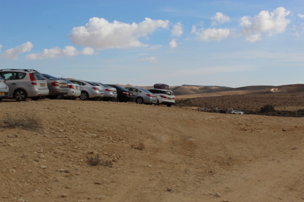
You leave the Midrasha and head north on route 40. After about three km, route 40 turns to the left but you continue straight on route 204 for another two or three km. You pass the village of Merhav Am and directly you will come to the sign for Wadi Hatzatz (on your right).
Take the dirt road and go as far as you feel comfortable (you can go pretty far with a normal car).
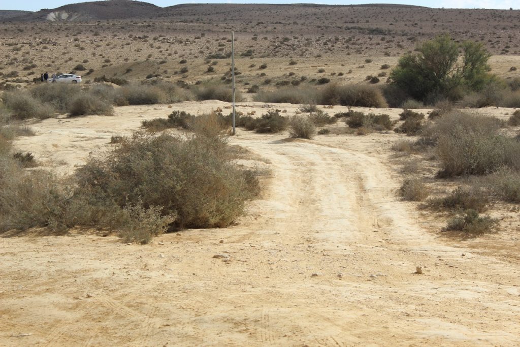
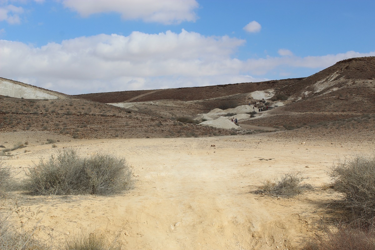
Now on foot, follow the black marker, you can’t miss it as it is also a 4×4 dirt road. You will immediately spot the first signs of ancient agriculture in the form of terraces.
To the Cisterns
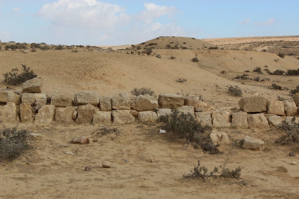
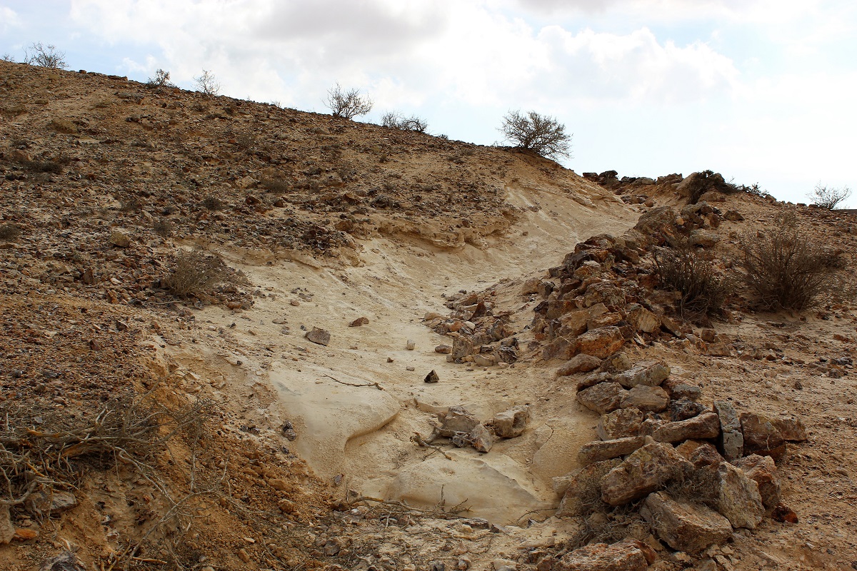
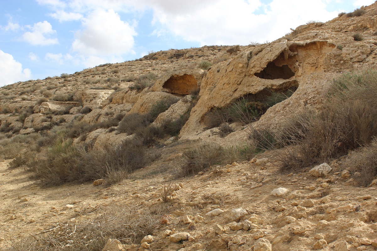
Within a few minutes you will notice white mounds up and to your left and low walls along the sides of the hills.
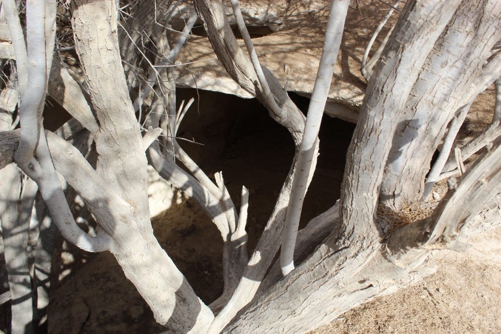
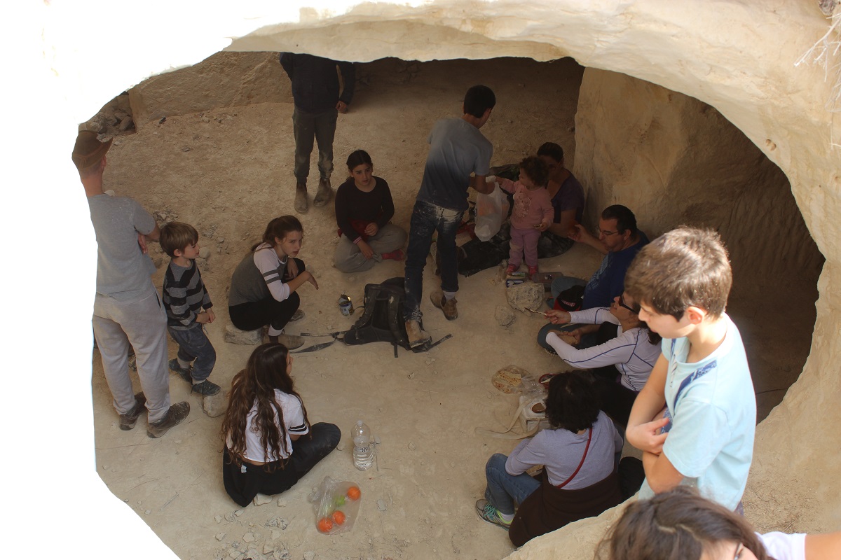
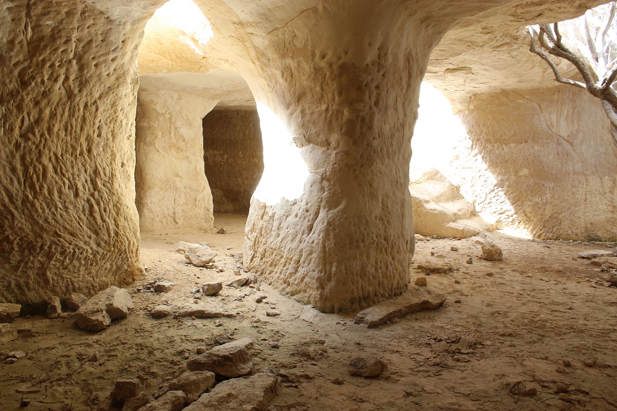
The white mounds are powdered limestone that was excavated in the Byzantine era to create cisterns. The low walls are channels built to direct rainwater from the hillsides into the cisterns of which there are about five. Walk up to them…
… the cisterns have long fallen into disrepair and there is usually no water in them from one year to the next…
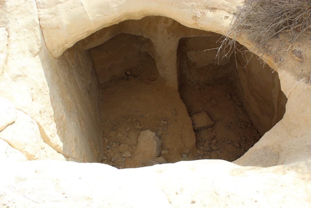
… but you can easily picture a scene two thousand years ago: It is November and the villagers are waiting for the first rain, the channel walls are repaired, the cisterns have been drained, cleaned and are spotless. The sky turns grey, a wind comes up, the entire village is on high alert. The rains starts and suddenly the water is flowing down the sides of the hills and into the channels, they have to capture every drop, they can’t let the water escape, if a wall breaks it has to be instantly repaired, the work goes on day or night, often in the freezing cold, for as long as the water is flowing and when there is no more rain they can stop, dry off and examine the water level in the cisterns. This will be repeated three or five times each winter; the water that fills the cisterns is all the water the villagers will have for the long dry summer ahead, it is the central fact of their existence [try reading Frank Herbert’s Dune]. Now that the cisterns are dry, you can climb down into them, on a hot day it is most pleasant, perfect for a picnic.
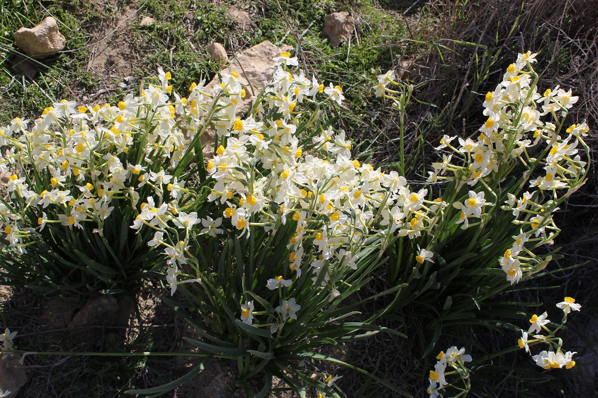
On to the Flowers
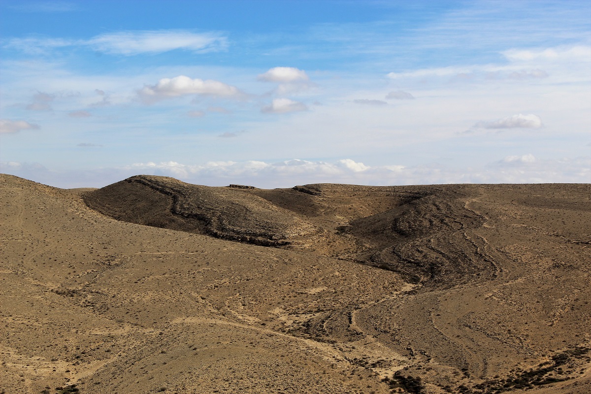
Go back onto the black trail. The path is now narrowing with hills on your left side and an interesting looking type of cliff on the other.
Follow the path for about 40 minutes until you get to the flowers. You will start seeing small patches
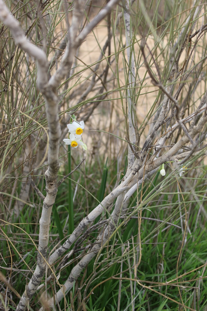
and then bigger and if you arrive in full season, the patches will have reached an impressive size.
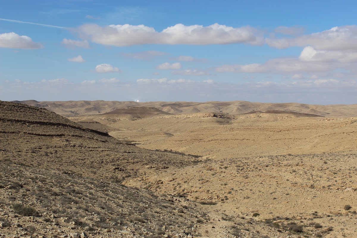
To the lookout
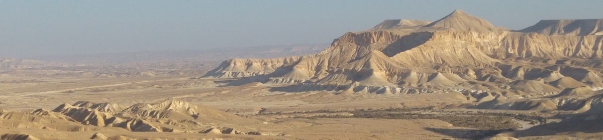
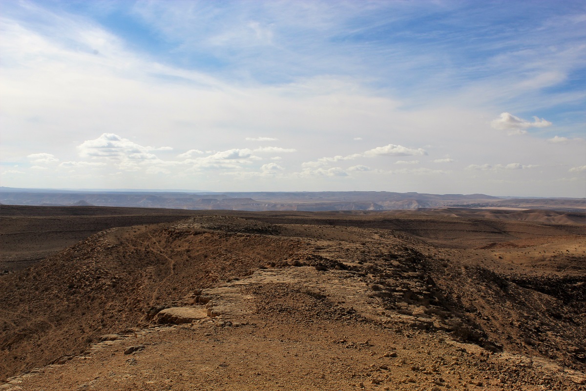
Continue going up, always following the black trail. The end of this part is a bit trickier so only carry on if you are in good health and it is not too late (dark). Remember, this is not a loop, you have to go all the way back to your car. Very soon the panorama will open up
and you will be able to see all the way to the kibbutz, the Midrasha and the solar tower in Ashalim.
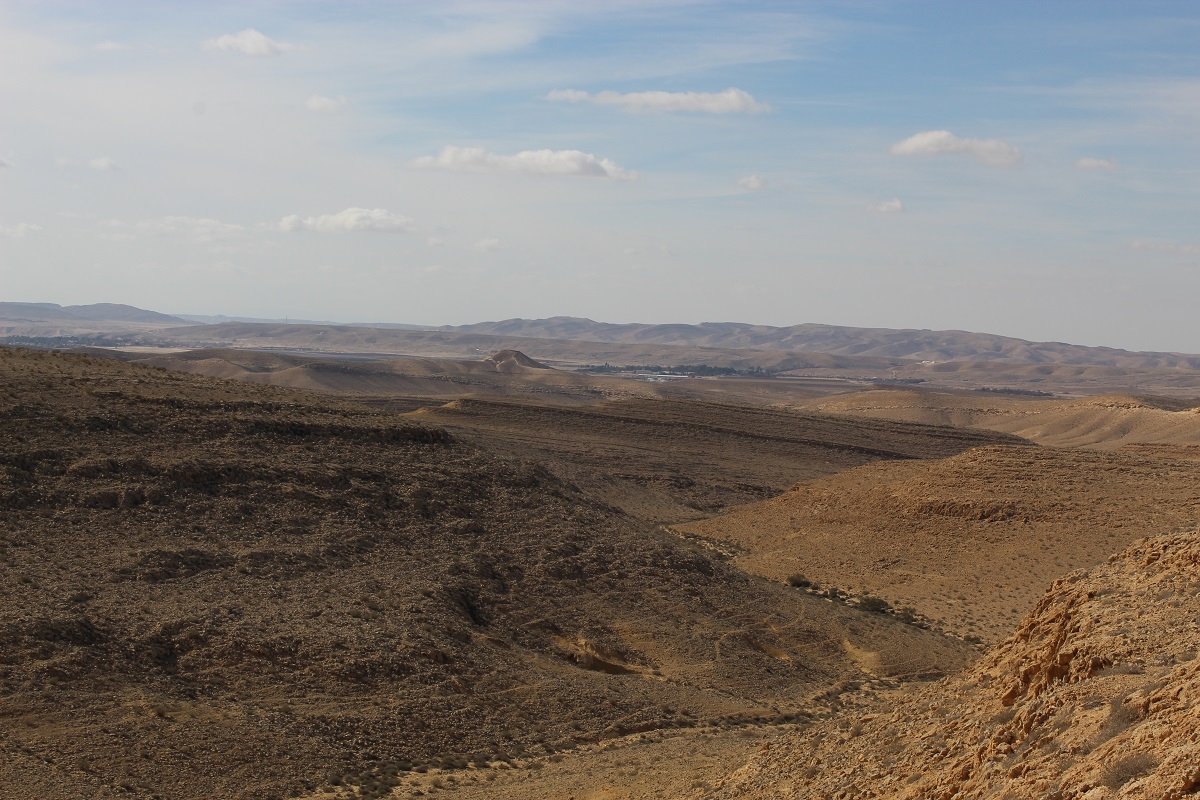
You want to get to the edge and walk along it.
You will see in a distance two rock formations.
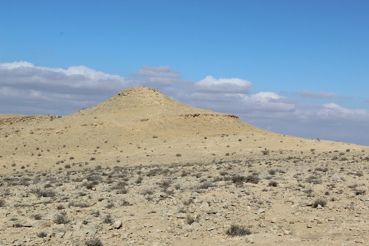
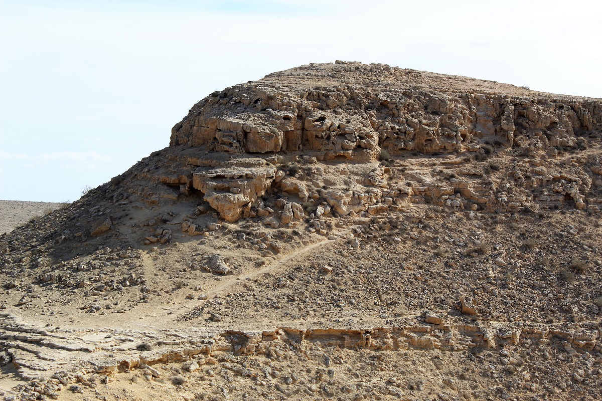
This is where you want to go. The climb to the second rock formation can be tricky, the return descent even trickier but the panorama from the top is ample reward.
Now return from whence you came!
NB.
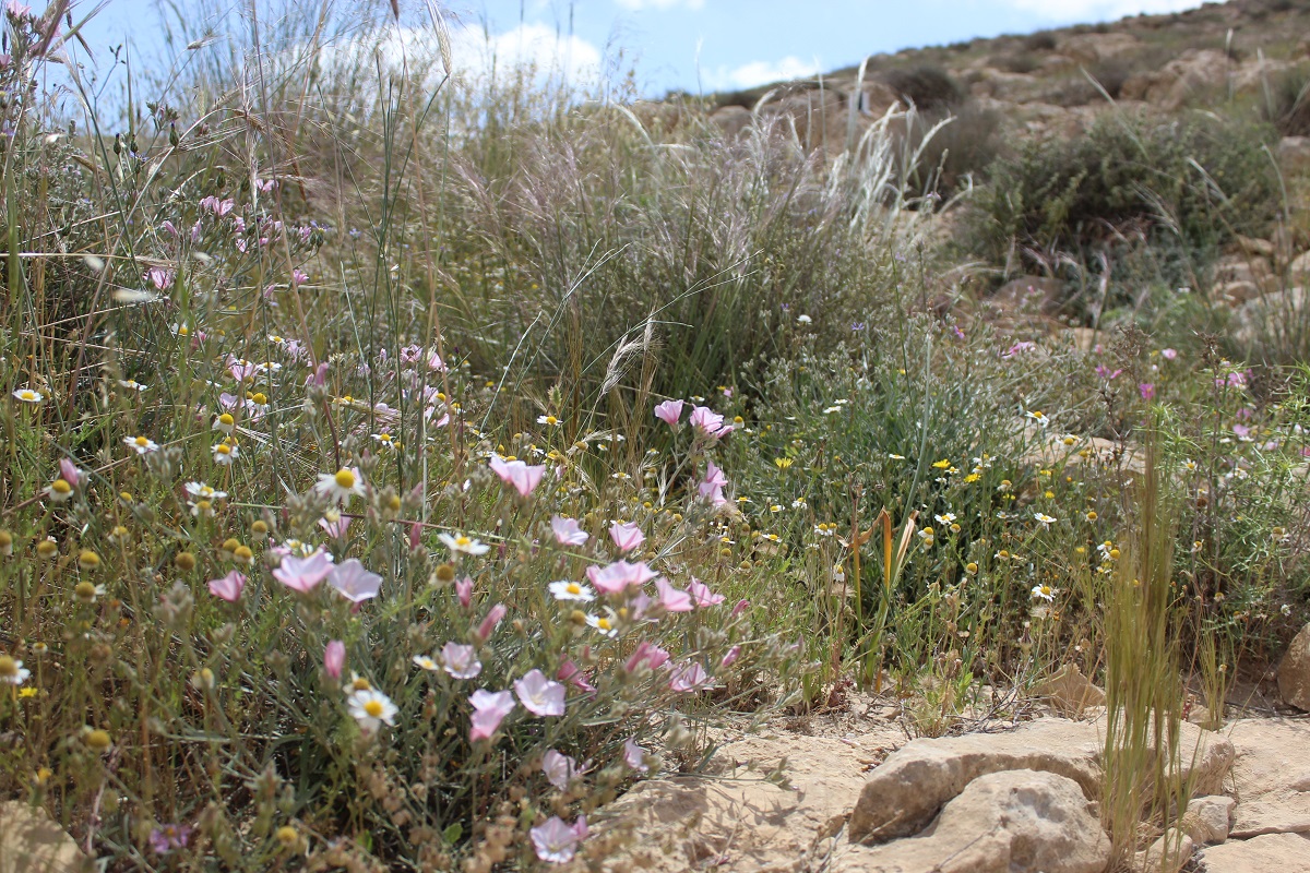
Because of the cisterns and the lookout, this is a nice hike even when there is no narcissi. In fact, you will also have many different flowers at spring time.
This can also be an experience for the more avid hikers. If you carry on walking after the lookout you start going down Nahal Darokh which takes you all the way to Ein Akev camp site. This is an 8 hour challenging but beautiful hike. Once in the camp, you can either find your way back via the oil pipeline road (hopefully you’ll be able to hitchhike) or bivouac and continue the next day to Hod Akev and Ein Akev… But maybe not in the freezing nights of December or January.
